






TOPOGRAPHIC SURVEYS

PROFESSIONAL CONSULTING


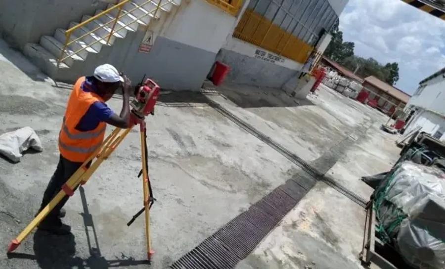
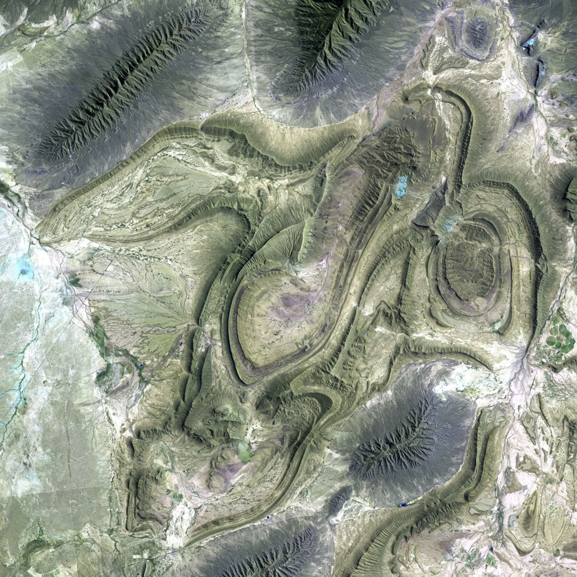
TOPOGRAPHIC SURVEYS

PROPERTY ADVISORY

PROFESSIONAL CONSULTING


PROPERTY ADVISORY

PROPERTY INVESTMENT PARTNER

PROFESSIONAL CONSULTING


PROPERTY INVESTMENT PARTNER

PROPERTY SURVEY & MAPPING

PROFESSIONAL CONSULTING


PROPERTY SURVEY & MAPPING

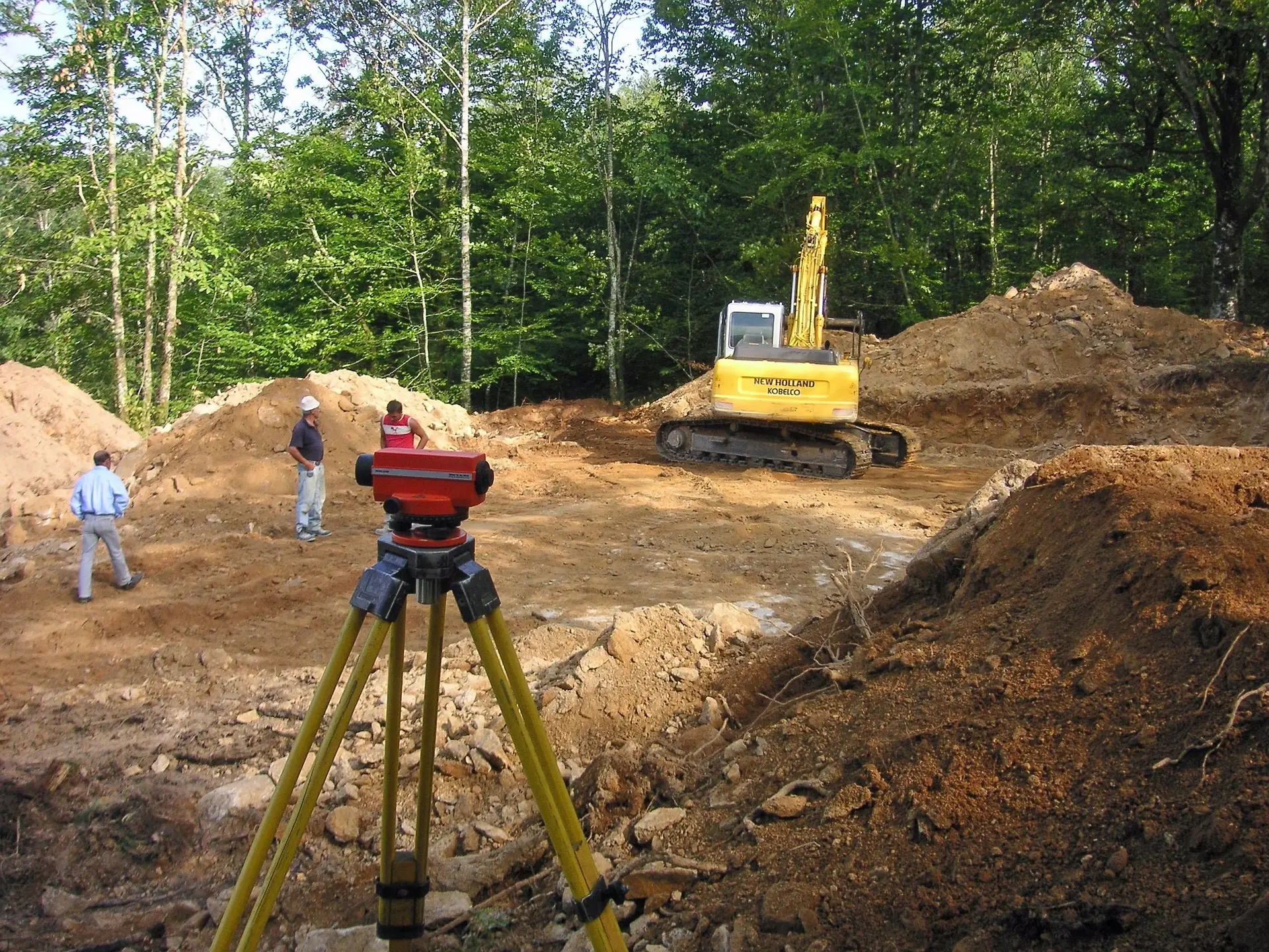
SETTING OUT

PROFESSIONAL CONSULTING


SETTING OUT

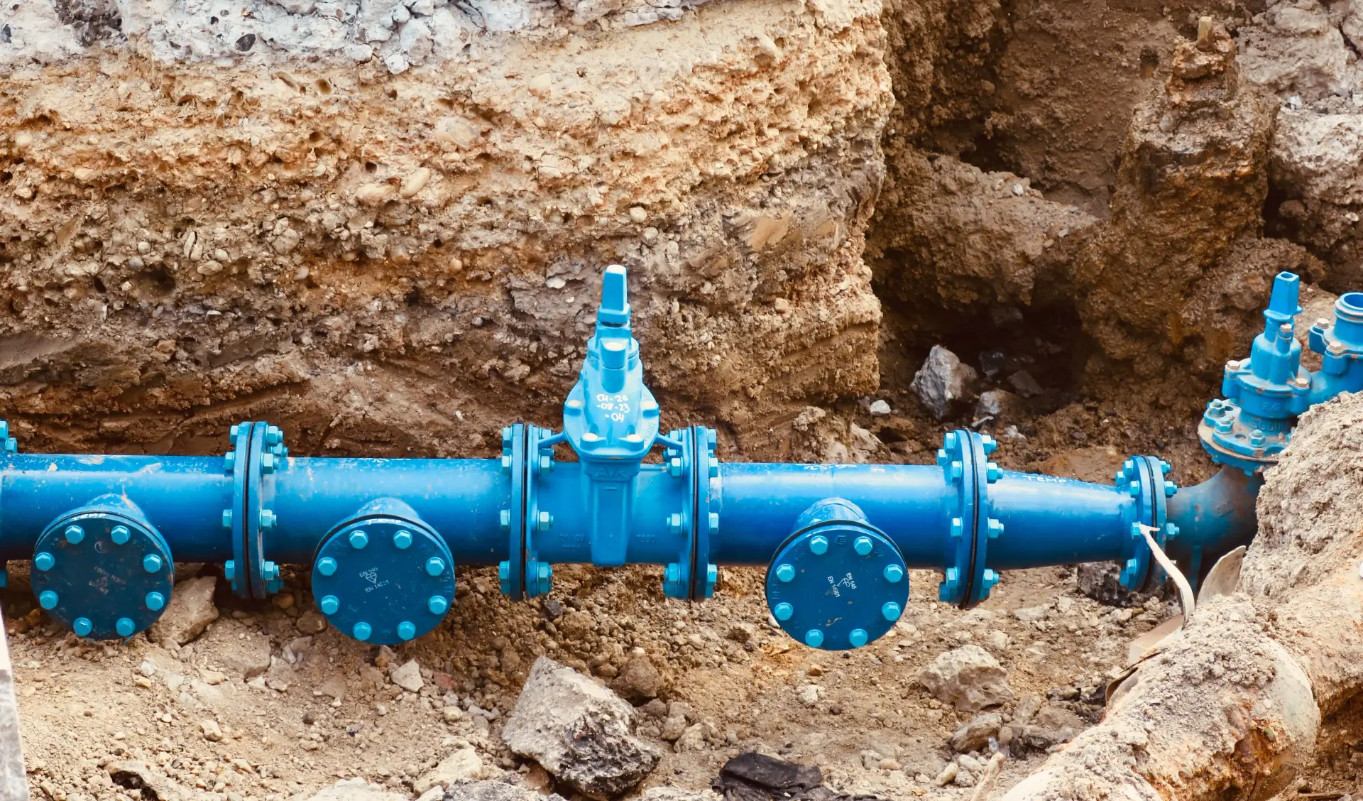
UNDERGROUND UTILITY MAPPING

PROFESSIONAL CONSULTING


UNDERGROUND UTILITY MAPPING

HYDROGRAPHIC RIVER SURVEYS

PROFESSIONAL CONSULTING


HYDROGRAPHIC RIVER SURVEYS

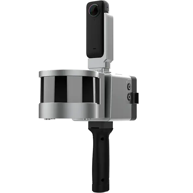
3D LASER SCANNING
laser_scanning

PROFESSIONAL CONSULTING


3D LASER SCANNING

DRONE SURVEYS

PROFESSIONAL CONSULTING


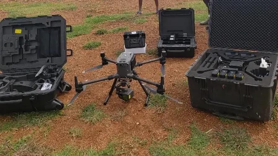
DRONE SURVEYS

GEODATA ANALYTICS

PROFESSIONAL CONSULTING


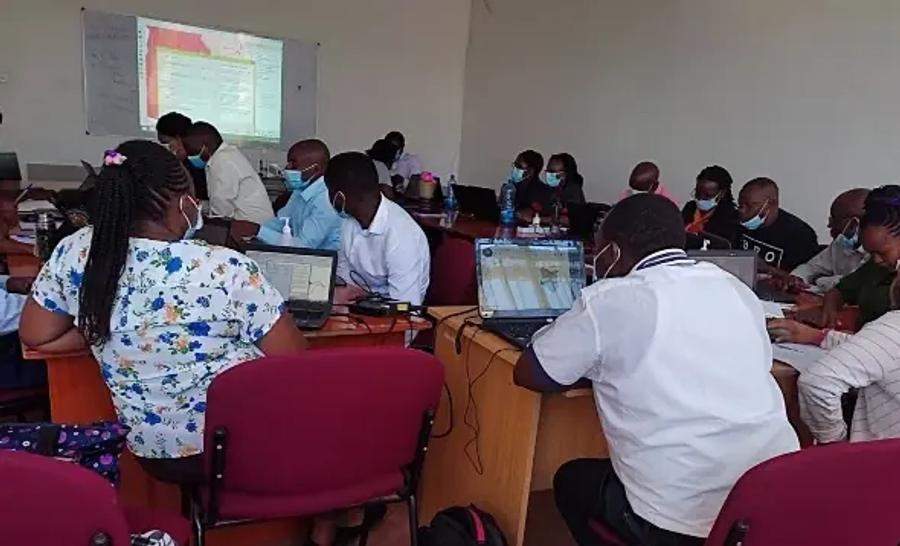
GEODATA ANALYTICS


WHO ARE OCL


We are a qualified and experienced team of surveyors who are proficient in up to date surveying technology, and are able to provide our clients with data inspires confidence in positioning. OPENMAPS Consulting Limited (OCL) is a Survey, Mapping & GIS Consulting firm.


WHY WE DO


We are in pursuit of protecting & improving human life. Over the years, we have served as a trusted partner to; our colleagues, our clients, and our societies.


WHAT WE DO


We exist to build great & livable societies. In everything we do, we work to find solutions that inspire our staff, fit our clients’ need to build trust.

OUR SERVICES


WHAT WE DO


PROJECTS AT A GLANCE


We provide customized solutions for projects of all sizes. We use the latest technology to deliver accurate and timely results every time.
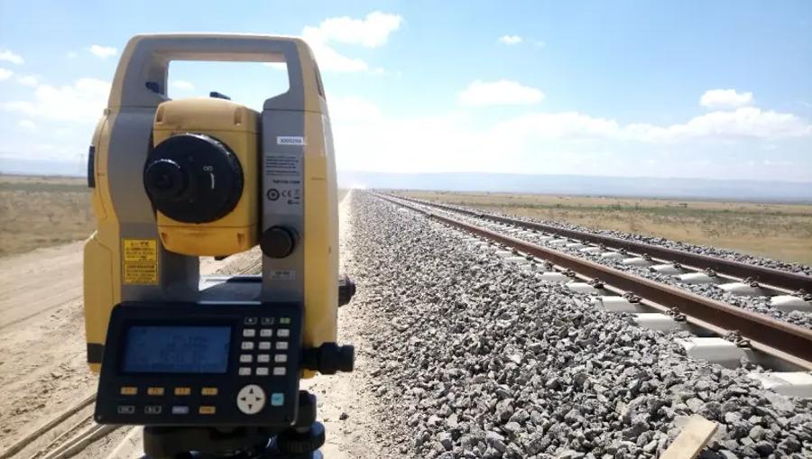
Project 1
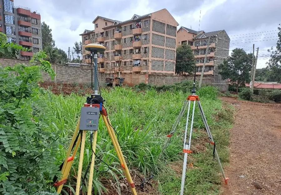
Project 1

Leading the industry with precision surveying and innovative GIS solutions tailored for your success. Our commitment to excellence ensures that every project meets the highest standards of accuracy and reliability across various sectors.

Project 2

Project 2

Leading the industry with precision surveying and innovative GIS solutions tailored for your success. Our commitment to excellence ensures that every project meets the highest standards of accuracy and reliability across various sectors.

Project 3

Project 3

Leading the industry with precision surveying and innovative GIS solutions tailored for your success. Our commitment to excellence ensures that every project meets the highest standards of accuracy and reliability across various sectors.

Project 4

Project 4

Leading the industry with precision surveying and innovative GIS solutions tailored for your success. Our commitment to excellence ensures that every project meets the highest standards of accuracy and reliability across various sectors.

Project 5

Project 5

Leading the industry with precision surveying and innovative GIS solutions tailored for your success. Our commitment to excellence ensures that every project meets the highest standards of accuracy and reliability across various sectors.


GIS IN ACTION


Sectional Titles Explained
Due Diligence
LIDAR Mapping
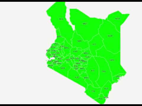
Kenya Counties
GIS Flow Maps
Before You Buy It

DO YOU HAVE ANY QUESTION ?

CONTACT US

WHAT CLIENTS SAY


OUR TEAM


To provide our clients with the best possible investment returns and services, we have assembled a team of highly skilled professionals with diverse expertise. We are committed to upholding the highest standards of integrity and adhering to our business practices.


MANAGEMENT

Joshua Mwaura
Nancy Mwangi

SURVEY & MAPPING

Pauline Munyoki
Joshua Njuguna
Hamphrey Kubai
Thuita Mwangi
 Chrisantus Biwott
Ephantus Nyaga
Liz Gachagua
Gibson Kuria Theuri

GEODATA ANALYSIS & GIS

Brenda Kendi
Amos Kipyegon

SALES & MARKETING

Susan Gateru
Serah Wanjiku
Jeniffer Wanjiru

INSIGHTS


Building a Solid Foundation: Essential Knowledge for Landowners & Developers


What Does a Land Surveyor Actually Do in Kenya? Guide

What Does a Land Surveyor Actually Do in Kenya? Guide

A practical Kenya guide explaining what land surveyors actually do, when to hire one, what they check, and why survey evidence matters before land decisions.

Before You Build: Why Projects Need Surveys in Kenya

Before You Build: Why Projects Need Surveys in Kenya

A Kenya-focused guide explaining why developers, landowners, architects, engineers, and contractors should survey before building to avoid costly site mistakes.

Title Deed vs Ground Reality: Kenya Verification Guide

Title Deed vs Ground Reality: Kenya Verification Guide

A practical Kenya guide explaining why a title deed is not enough, how to compare land records with ground reality, and what buyers should verify before paying.


TALK TO US


CONTACT DETAILS

+254714441234 / +254739186580

info@openmapsconsulting.com

LOCATION

04 Chiromo Lane · Westlands · Nairobi · Kenya.

WE'D LIKE TO HEAR FROM YOU